
Places are always becoming
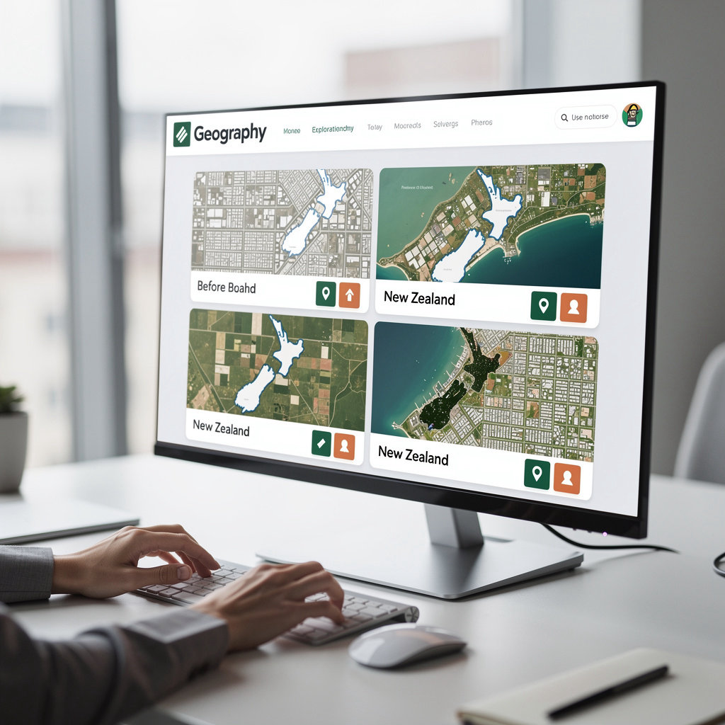
Compare how places across New Zealand have changed over time using historical aerial imagery.
2005 Aerial Imagery
Search a location to load
2025 Aerial Imagery
Search a location to load
Search for your location below to explore historical changes side-by-side on both maps.
Four Simple Steps
How It Works
Exploring historical changes in New Zealand places is straightforward. Search a location, select two years to compare, and use the interactive slider to see how places have transformed over time.
-
1
Search a New Zealand location
Type a suburb, town, city, or region into the search bar. Whether you're looking for Mission Heights, Wellington, Christchurch, or Queenstown, the search finds your place and zooms the map to that location.
-
2
View the location on an interactive map
The map centers on your chosen location and displays the available historical aerial imagery. You'll see which years of imagery exist for that area, so you know exactly what you can compare.
-
3
Select two years to compare
Choose an older year and a newer year from the available options. The tool only shows years that actually have imagery data, so you'll never face broken comparisons or missing information.
-
4
Use the draggable slider to explore changes
Drag the vertical divider left and right to reveal the older imagery on one side and the newer imagery on the other. Watch how development, vegetation, infrastructure, and land use have shifted over the years you're comparing.
Want more detailed guidance on using ChangingMaps? See the full how-to guide and tips.
What You Can Explore
Compare historical and modern aerial imagery to see the types of changes happening across New Zealand. From suburban expansion to environmental shifts, each location tells a story of transformation.
Development Change
Watch new housing, buildings, and urban expansion unfold. See how suburbs grow and city centers densify over decades.
Environmental Change
Observe shifts in vegetation, tree cover, waterways, and natural landscapes. Track how open land transforms over time.
Infrastructure Change
See roads, paths, parks, and public facilities evolve. Follow how communities build and reshape their physical spaces.
Land Use Change
Explore how regions shift from open space to density, rural to urban, or open land to developed areas. Find old aerial imagery for property and area research.
Why ChangingMaps
ChangingMaps isn't a generic mapping service. It's built specifically for people who want to understand how New Zealand places have actually changed—with tools and data that make exploration accessible and honest.
- New Zealand-focused. Specialized imagery and data for Aotearoa locations, not a global tool stretched thin across the world.
- Interactive comparison. Drag the slider to see changes side-by-side in real time. Not static before-and-after images—true exploration.
- Search by place name. Find suburbs, towns, cities, and regions without GIS knowledge. No technical skills required.
- Official sources. Data from LINZ and local councils—transparent attribution always shown. You're seeing real imagery, not speculation.
- Community-driven. Submit feedback and suggest locations for future coverage. Your input shapes what gets added next.
- Free and open. No subscription required. Built on public geospatial data, available to anyone curious about how their region has transformed.
Want to know more about where the imagery comes from and what years are available? Head to About the Data for the full story.
See Real Changes Across New Zealand
Explore locations where change is visible and dramatic. From suburban expansion to post-earthquake rebuilds, these featured places show why ChangingMaps matters.
Mission Heights
Suburban expansion from 2006 to 2025
Auckland CBD
Urban densification and development over two decades
Christchurch CBD
Post-earthquake rebuild and city transformation
Queenstown
Tourism-driven growth and landscape changes
Ready to explore your own location?

Help shape ChangingMaps—your feedback matters